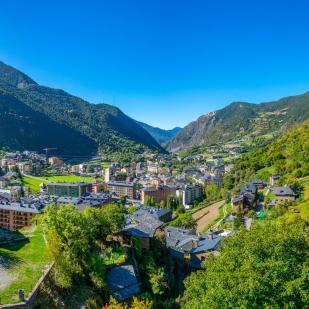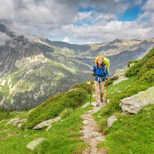

Its privileged location in the heart of the Pyrenees and its natural parks make Andorra a paradise for mountain lovers. The country offers trails for all tastes where enjoying the landscape is guaranteed. Discover the most authentic and unspoiled Andorra by hiking through the country!
Thousands of kilometres of waymarked trails through natural spaces that cover 90% of Andorra's territory.

The Principality of Andorra is a region of steep mountain peaks and narrow valleys. It has 65 peaks of more than 2,500 meters of altitude and numerous water courses that join the Valira del Norte, Valira de Oriente and Gran Valira rivers. The highest mountain is the Comapedrosa peak, with an altitude of 2,946 meters, located in the Pyrenees mountain range, nestled between the border of Spain and France. It has large wooded areas of pines and birches due to the high mountain Mediterranean climate.

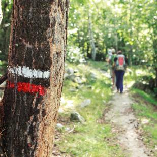
Andorra, the country of the Pyrenees, can be traversed on trails, forest tracks and small roads. It has itineraries equipped with information panels, booths and signage.
Discover hundreds of routes in Andorra on Rutes Pirineus' website.

Andorra has 5 long-distance trails (Gran Recorrido):
- The GR-11 (28 km): known as the Pyrenean Path, it crosses the Pyrenees on the southern slope from Cape Higuer to Cap de Creus.
- The GR-7 (44 km): it is part of the Great European Route E4, enters the country through the Portella Blanca, crosses the Principality and continues towards Catalonia.
- The GRP (107 km): circular route that goes around the country, converging in some sections with the GRs that cross Andorra.
- The GR Cross-border 1 (2 km): a route with +1700m that begins and ends in El Serrat (Ordino) and passes through lands and refuges in Andorra, Spain and France.
- The GR Cross-border 2 (5 km): it runs along routes and shelters in Andorra and France.